Neora Valley Trek
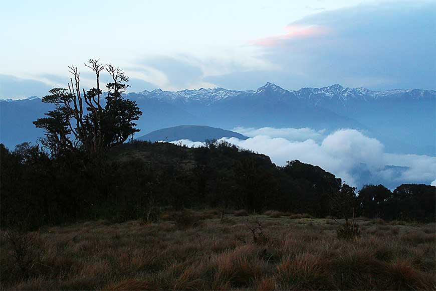
Trekking through pristine forests of Neora Valley National Park in Bengal is probably one of the best wilderness treks of our country.
The Neora Valley National Park in the Kalimpong district of West Bengal spreads over an area of 88 square kilometres and is considered to be one of the richest biological zones in India. It is one of the few places where one can find the elusive and elegant Red Panda in its natural habitat, thereby making this park a haven for nature and wildlife lovers.
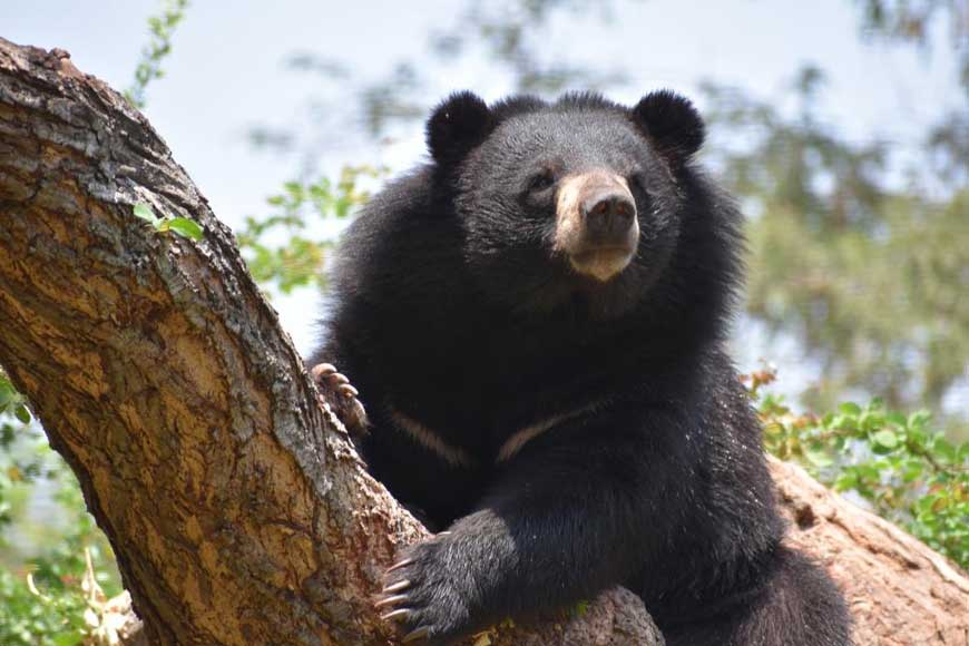 Himalayan Black Bear
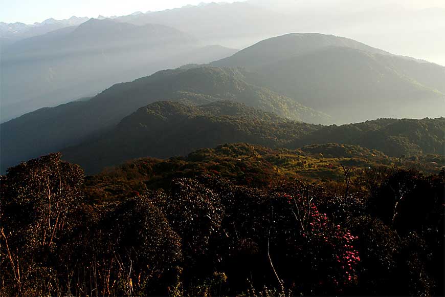 Hues of the Aloobari meadow
The Rachela pass at an elevation of 10,340 feet, is the highest point in the National Park and is the three-way junction between Sikkim, Bhutan and West Bengal. From Rachela top one can see both the Chola range and the Singalila range with breathtaking views of Mount Kanchenjunga, the third highest mountain in the world. By trekking through the Neora Valley National Park one can experience the untouched, unexplored Himalayan forests of this region. With an abundance of rare birds, Himalayan black bears, and the elusive Red Panda, this trek will definitely resonate with the nature enthusiast in you. The trek is mainly through immensely dense forests of bamboo and pine, so much so that even sunlight finds it difficult to touch the ground.
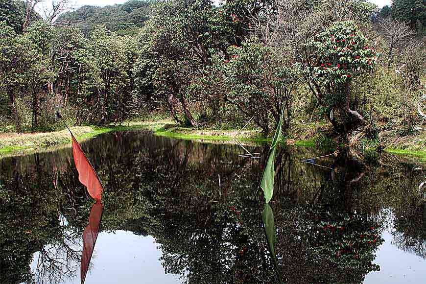 Jorepokhri
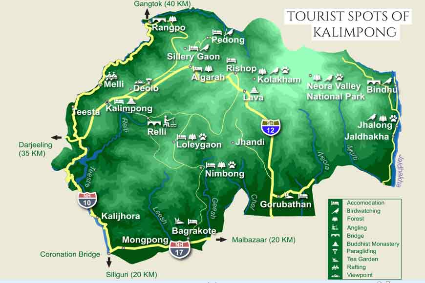
The trail starts from Lava, a small hamlet situated around 30kms from Kalimpong. One can reach Lava directly from Siliguri/Bagdogra. There are quite a few places to explore in and around Lava, most notably Lolegaon, which is 20kms away and has a heritage forest which offers a magnificent view of the Kanchenjunga range. While in Lava one must also visit the Lava Monastery (also known as Kagyu Thekchen ling Monastery).
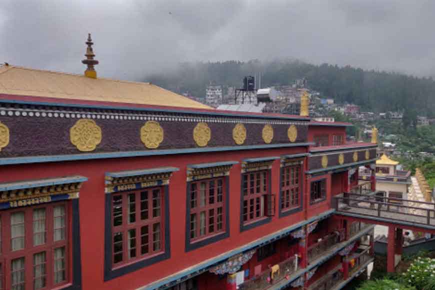 Kagyu Thekchen Ling Monastery
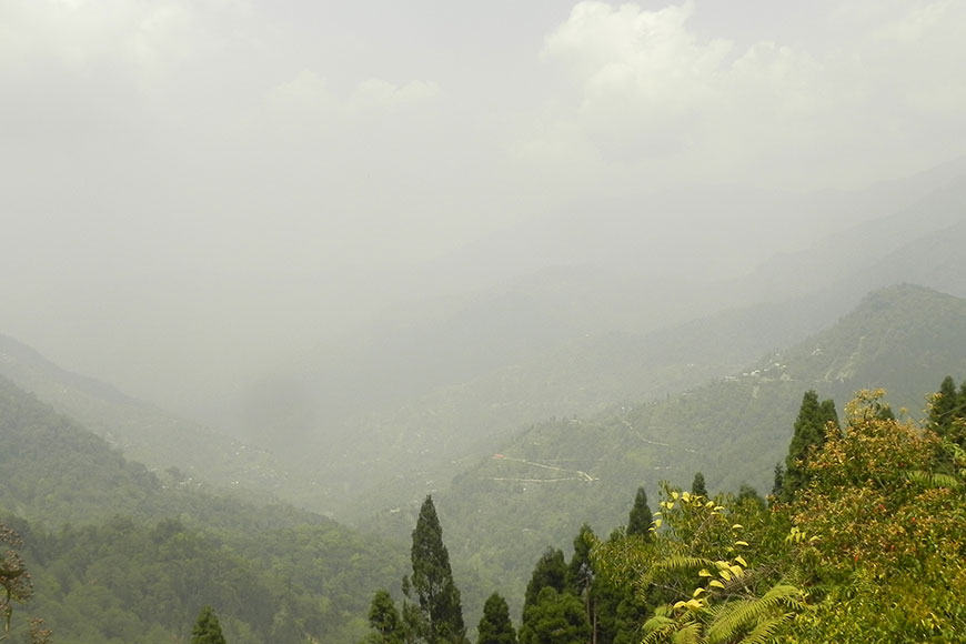 Misty Highlands
The first day of the trek takes you to Chaudapheri camp, the road from Lava to here has 14 turns, hence the name. Overnight stay in tents pitched around staff protection camps will be an amazing experience for all nature lovers.
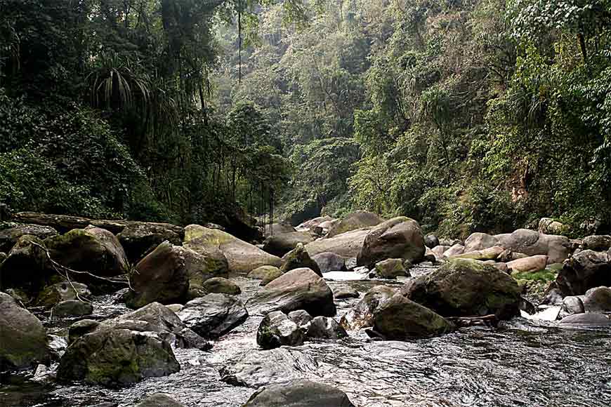
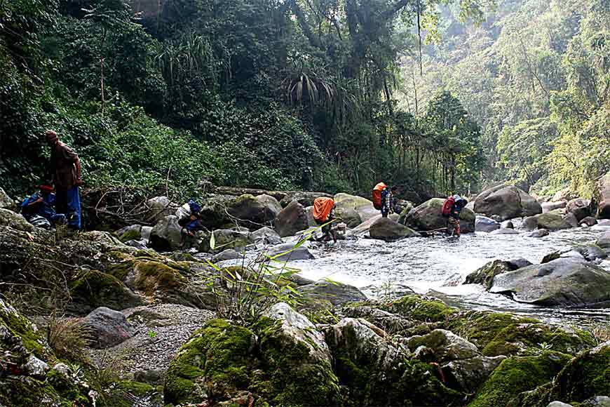 River trekking at Neora Valley
The next day of continuous ascends and descends takes one through forests of mixed bamboo vegetation to the PHE camp which will be the stop for the day. From the PHE camp, the route is uncertain as the river changes its course diversely. After walking for a while, one will come across the Jaributi Watchtower (Jaributi meaning medicinal plants). The watchtower here was constructed by the Forest Department for observing animal movement; trekkers can see a nice panoramic view on a clear day from here. The trail from here continues along mountain streams and a long branched oak tree.The path is full of wild strawberries and hidden amidst them are the medicinal plants.
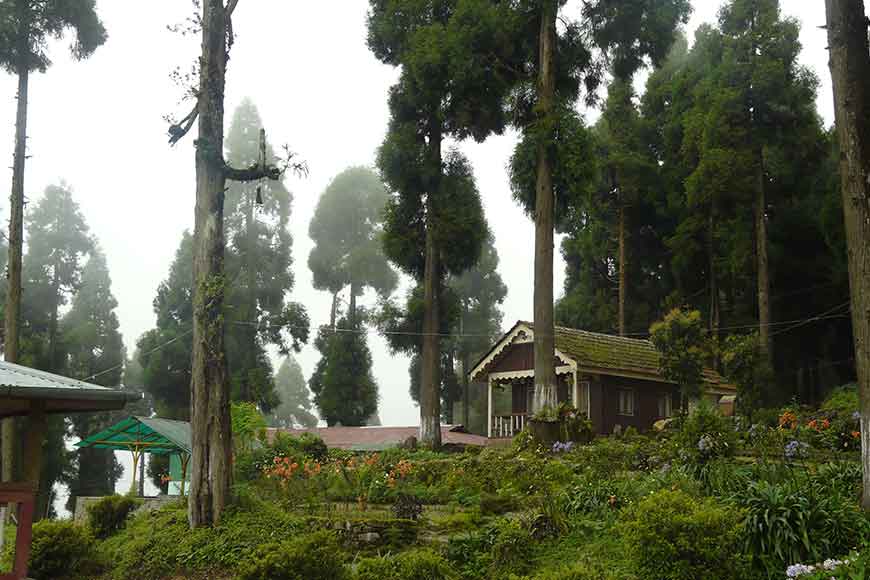 The scenic beauty of Lava
Aloobari will be the halt for the night. Do not be surprised to see the Red-headed bullfinch here- the bird is not at all camera shy and one might just get a close-up shot of this beautiful bird. Along with that, with a call very similar to an ambulance siren- the male Satyr Tragopan is also found in abundance here.
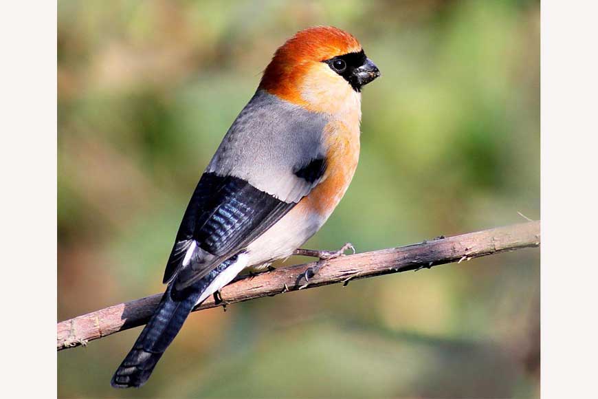 Red headed Bullfinch
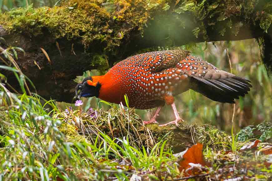 Satyr Tragopan
The next day of this trail will finally take you to the Rachela pass, and en route one will pass Jorpokhri where there is a holy evergreen lake. The Rachela pass as mentioned before being the highest point of the Neora Valley National Park offers breathtaking views of Mount Kanchenjunga, not just that, one can also see the Nathula range, Nathula pass, Bhutan ridge and the towns of Darjeeling and Gangtok from here. Both Sikkim and Bhutan can be accessed from this very mountain pass. The trail from Aloobari to Rachela is a tiring uphill walk, through dense bamboo forests. Make sure to always keep your eye out for the elusive Red Panda!
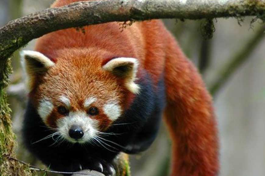 The Himalayan Red Panda
The following day will take you through beautiful and ancient Rhododendron forests all the way to Ruka. The name Ruka in local language means jungle of big trees, from here a steep downhill trek will take you all the way to Tangta. Enroute one can see the Gyamping village of Bhutan. Perched at the hilltop in the Neora Valley National Park are the twin hamlets of Todey and Tangta which is the endpoint of this trek. Todey is located at the extreme end of the Indian border adjoining Bhutan and is known for its large medicinal garden knows as Chamelidevi Ayurvedic Garden near the village. From Todey or Tangta one can reach Jhalong,-Bindu in an hour.
 Trekkers route
The best time to do this trek is in the months between October and April. The monsoon months are not suitable due to the park being shut during that time.
There are available homestays in Tangta and Todey, while tent accommodation is to be used for the other places during the trail. In Lava once can stay in the WBFDC Nature Education and Wilderness Resort.
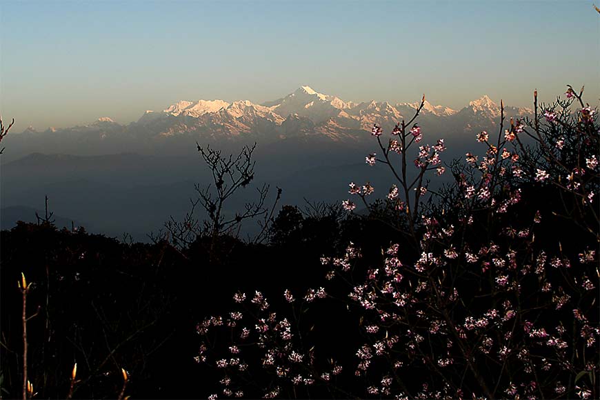 View from Rachela
Important Notes:
Permit required can be made available from the Forest range office at Lava or at Samsing.
Porters and Guides are to be booked well in advance.
How to Reach:
By Train- Nearest Railway station is NJP, from where private cars and shared jeeps are available for a 3-hour journey to Lava
By Air- Nearest Airport is Bagdogra, from where private cars and shared jeeps are available for a 3 and a half hour journey to Lava.


